
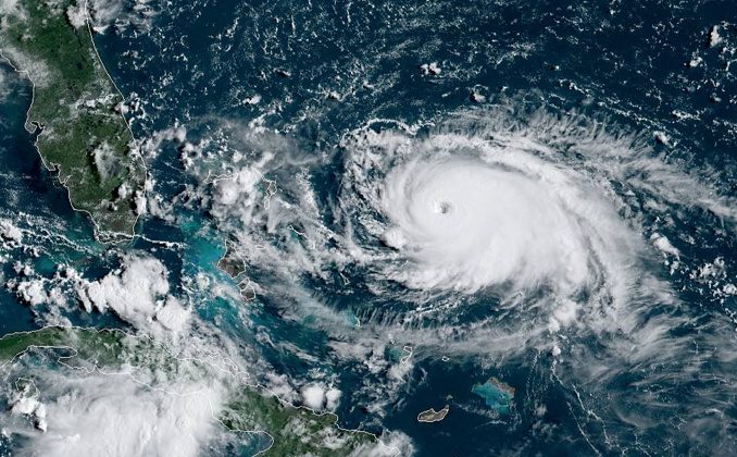
Invest 97L (officially tropical storm Erin, after the overnight) is hot off the western coast of Africa and is likely to have formed into a cyclone when you read this (it did). It is one of a handful of named storms this year, none of them ever rising to the level of a hurricane, but not without some impact. The remnants of Barry flooded the Guadalupe River valley to much climate pearl clutching by panty-twisted Democrats, but there have still been zero Hurricanes this season.
Erin is projected to be the first.
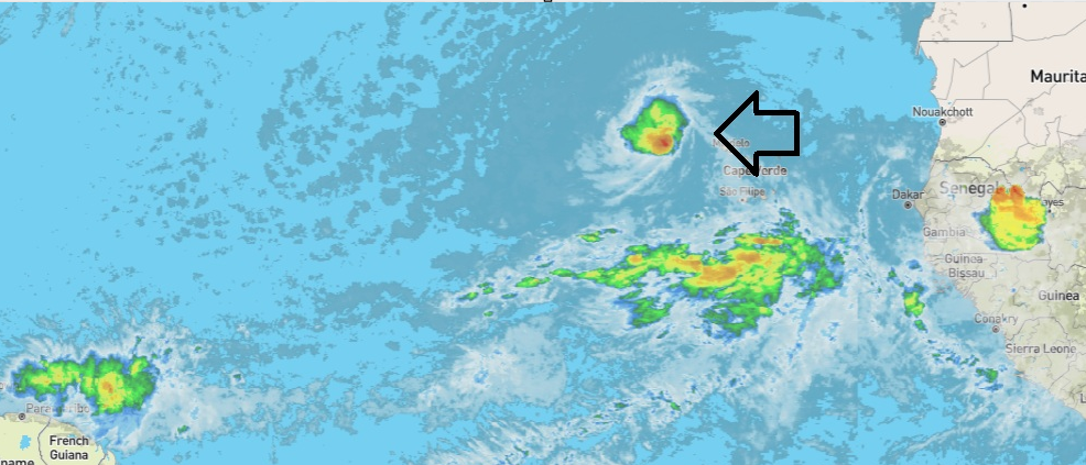
Pre-tropical storm image – looking like she’s spinning already
The handful of disturbances to date have continued to disappoint the rabid doomsayers prognosticating the end of times because you ran your AC at 78 or objected to making electricity a luxury. But mid-August is here. Between now and mid-September is the best chance for not just more storms but big ones.
Image updated to this morning.
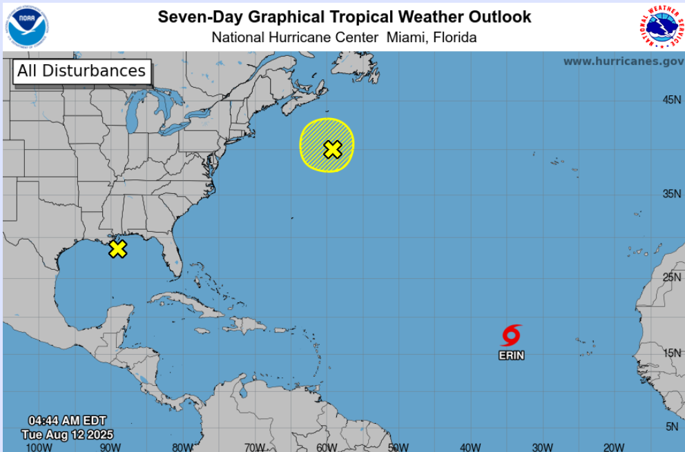
Hurricane formation appears a given for Erin, and the current predicted path takes it into the Sargasso sea where it sets up for a potential US landfall.
Here’s an example of the projected track as of this morning.
That’s not to say the experts have a clue. They get a lot wrong, which is why armchair hurricane punditry is a thing on these pages. That and because the loony left puts so much narrative water in those buckets to diminish lifestyle, opportunity, and freedom, it demands our attention.
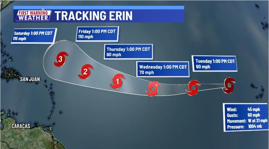
Erin is almost certainly going to be our first hurricane of 2025. The track is always suspect, but it looks like it’s coming our way.
Just remember, none of this has anything to do with you. Their computer models are more often wrong than right. It is not science to ignore science that refutes your hypothesis. And, the Climate Change agenda has always been about economics – replacing free market capitalism with a centrally planned economy, not saving the planet.
Erin, by the way, doesn’t care about any of that.